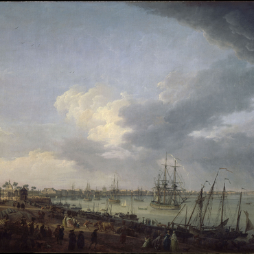
In addition to being a living natural zone, the Gironde Estuary is also a major artery of communication for the city that was known as Burdigala in Antiquity. The history of Cordouan is inextricably linked with that of estuary ports such as Royan, Blaye, Meschers and Pauillac, but above all that of Bordeaux. The expansion of the city was accompanied by heavy pressure by merchants and sailors to improve navigational safety. The Black Prince's tower (1360) witnessed the passage of ships loaded with wine heading for England. The tower erected by Louis de Foix (1611) signalled the estuary to coastal boats, particularly a sizeable fleet of Dutch ships, as well as ships fitted out for fishing operations in Nova Scotia. The type of goods began to diversify: wine was a constant, of course, but there was also salt from Saintonge, and products from northern Europe, such as fish, textiles and wood. In the eighteenth century, Bordeaux and its merchants thrived due to colonial trade with the Antilles, particularly Santo Domingo, and with the Indian Ocean. Cotton, sugar and coffee were traded, and immense fortunes were earned from the slave trade. It was the golden age for the port of La Lune, and its incredible activity can be seen in paintings by Claude Joseph Vernet. Between 1680 and 1780, between 2,000 and 3,000 ships plied the waters of the Gironde Estuary, seven or eight of which foundered in the vicinity of Cordouan. While Bordeaux specialised in long-distance trade, the estuary ports were home to more local traffic, and thus became the principal vector of trade between the European and French provinces. The continual improvements to the Cordouan fire signals in the eighteenth century, up until the efforts by Joseph Teulère, should be appreciated in the context of the trade and shipping momentum in both the estuary and Bordeaux.
Associated media
Open Media Library
The port of Bordeaux seen from the Paludate
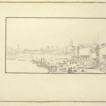
First sight of the port of Bordeaux taken on the Salinières side
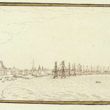
Second sight of the port of Bordeaux, taken from the castle Trumpet
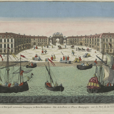
The port and the Place Bourgogne at the port of Bordeaux

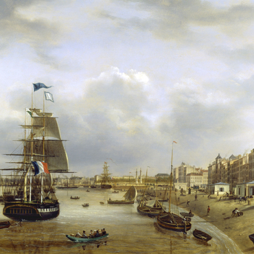
The city of Bordeaux and its port viewed from Les Salinières
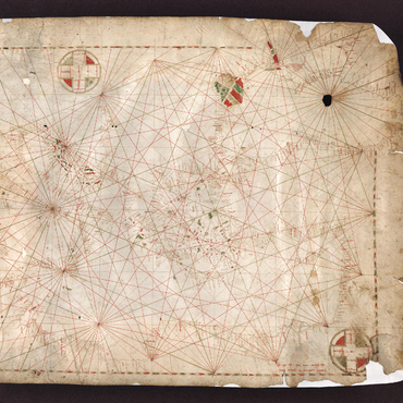
Cordouan on portolan charts
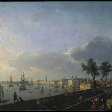
Bordeaux, seen from the Quai des Chartrons
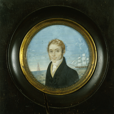
Portrait by an amateur Bordeaux painter, 1830
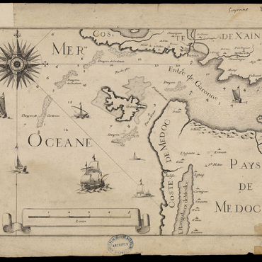
Map of Guyenne, Country of the Medoc, 1634
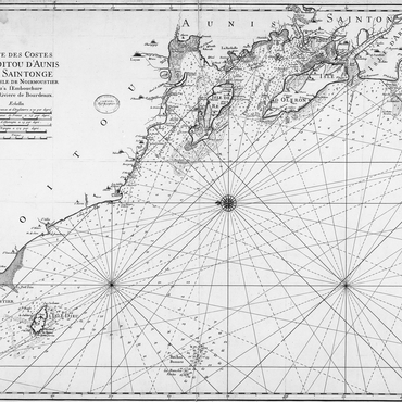
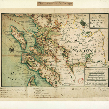
Map of the coasts of Poitou d'Aunis and Saintonge 1693

Geometric map of the entrance to the Gironde, 1757
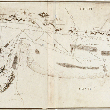
Map of the entrances and waterways of the Gironde, 1767